Do you have any idea where you’re going?
No, seriously. Do you know where you’re going right now? The fastest point between A and B is not always what you expect it to be.
Relying exclusively on Google Maps to find your way is sort of like relying on a single bare bulb in a cavernous subterranean storage area. The more independent resources — light bulbs, in this example — the more complete the picture of your surroundings.
The last thing you need is to stub your toe en route to that bottle of vintage Cabernet. Or make a wrong turn and find yourself in an afternoon-ending traffic jam.
Good thing Google Maps isn’t the only game in town. Use all six of these mapping and transit apps to find your way faster, every time, whether you’re riding the bus or flying solo in your hatchback.
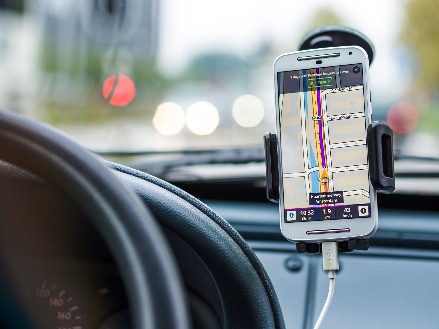
1. Moovit
Moovit is a popular transit and road navigation app that combines user-sourced data with publicly available schedules and wayfinding data from local transit authorities. According to the app, more than 600,000 users contribute data on a real-time basis.
The results are impressive. In this example featuring NexBank, a Dallas-based regional bank, a Moovit-using NexBank employee or customer easily finds their way from a variety of mundane locations in and around the Dallas-Fort Worth area. North Texas’s legendary traffic is no object.
2. Waze
Waze is another crowdsourced navigation app that enjoys cult-like status with urban commuters and delivery professionals. Known for routes that always seem to find the perfect shortcut, Waze is an amazing aid when every minute counts. Which, let’s be honest, it usually does.
3. Google Maps
Google Maps has a bit of a stodgy reputation, but its algorithm has clearly improved over time. Today’s Google Maps has a vast wealth of real-time traffic data and more detail about what users can expect to pass along the way than virtually any competitor.
4. OSM
Heading out into the sticks? With OSM, that’s no reason to worry. This is a world-class offline navigation resource with a vast array of mapping data in even the remotest parts of the world. Other apps talk a big offline game; OSM actually delivers.
5. GPS Navigation (Sygic)
Be warned: Sygic’s GPS Navigation app is a paid product. But it comes with a lot of driver-friendly features, including speed trap warnings that consistently outperform the competition.
6. CoPilot
If you drive professionally or otherwise make multiple stops in a typical trip, CoPilot is your best friend in the car (or delivery truck). Its navigation interface has room for more than 50 waypoints, keeping you on track through the most convoluted routes imaginable.
Get Where You’re Going, Faster
Believe it or not, this isn’t a complete list of the best mapping and transportation apps available to U.S. smartphone users. Every hardcore commuter seems to have a personal favorite, some of which are politely described as “niche.”
Hey, whatever works. If you’ve found the perfect navigation app that no one else seems to know or care about, more power to you. An empowered commuter is a better commuter, no matter whence they draw their strength.